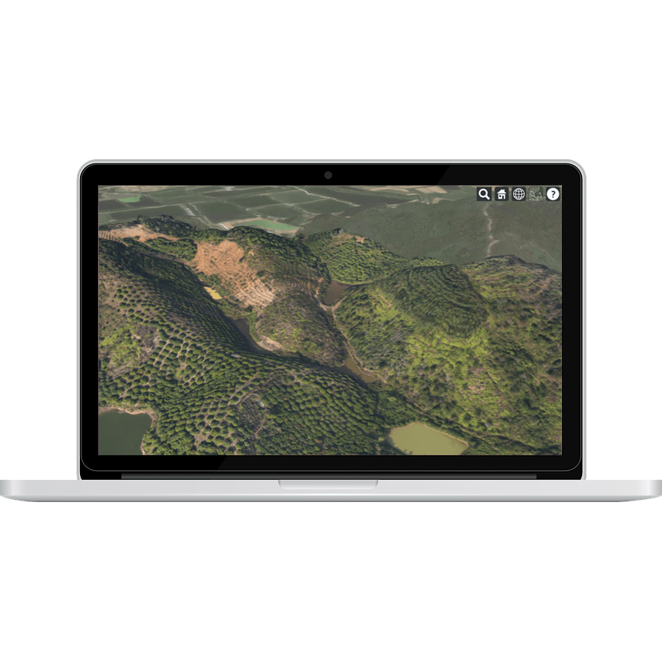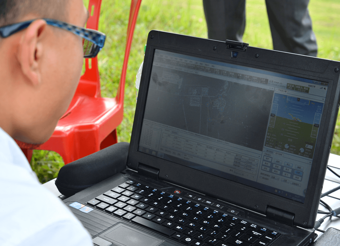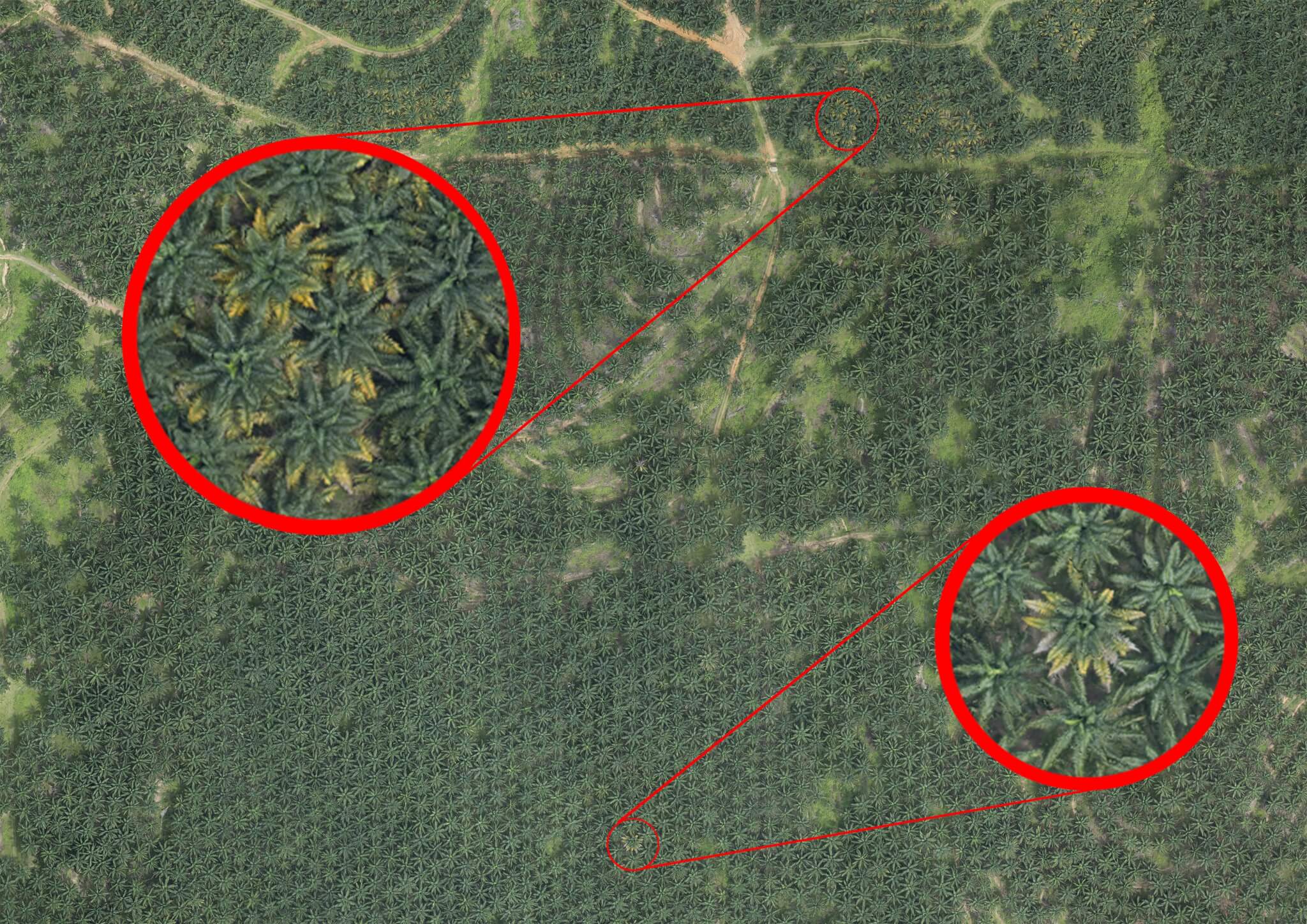
Our Aerial Survey service
The Insight Robotics aerial survey solution automates and simplifies precision management of high-value forestry resources.
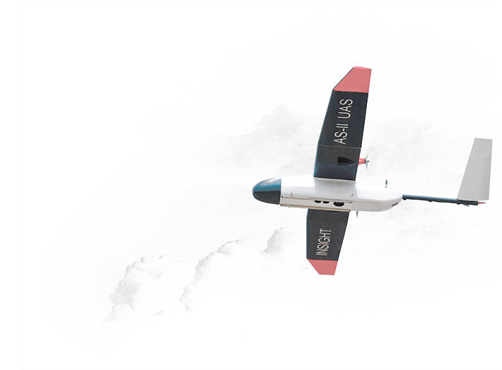
Our fixed-wing Unmanned Aerial Vehicles (UAVs) are optimized and purpose-built for conducting aerial surveys over large forest estates. Tasks that would manually take days or weeks, are completed in a matter of hours, freeing up your time for data analysis, strategic planning and effective management of your assets.