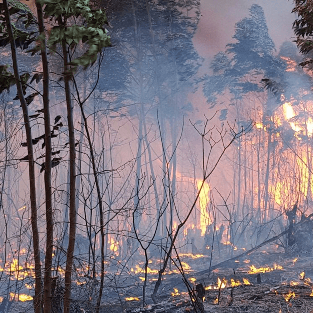
Manage Wildfire
Early and accurate fire detection dramatically reduces suppression costs, reduces asset loss, and avoids threats to human safety.
Our Wildfire Detection System is powered by advanced image analysis in combination with thermal technology, enabling early and accurate wildfire detection in low visibility within line of sight. AI-assisted detection minimizes the risk of human error so that you can focus on rapidly responding to threats with effective firefighting strategies.
LEARN MORE
Yield Optimization
Our Aerial Survey improves visibility of your land, automates laborious processes and provides key data-driven insights for clients to evaluate and plan accordingly. Maximize productivity of your estate with an extensive library of analytics customized to suit your crops and output.
Common outputs:
• Nutrition levels
• Pests and disease
• Soil health
• Irrigation
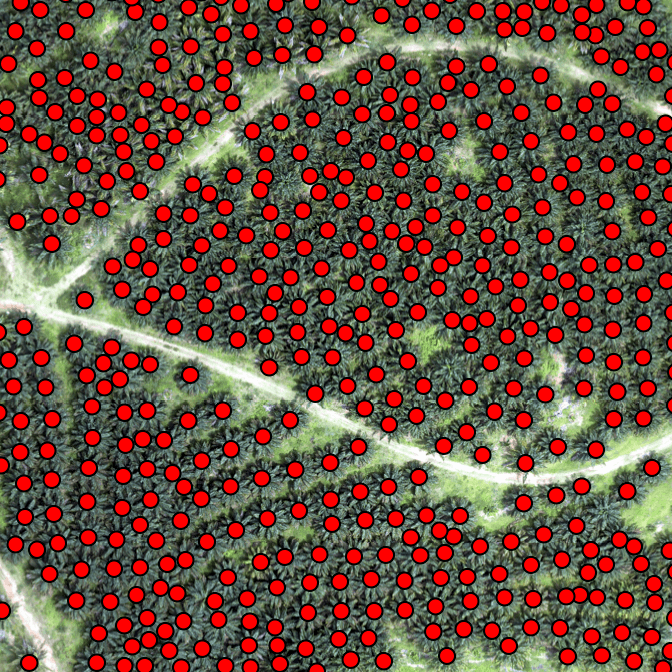
• Tree counting
• Volume analysis
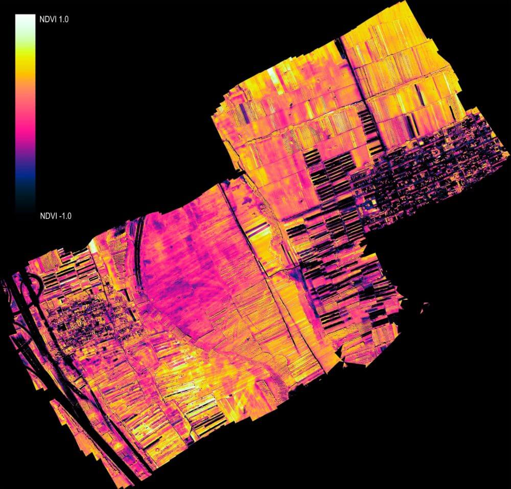
• Normalized Difference Vegetation Index (NDVI)
LEARN MORE
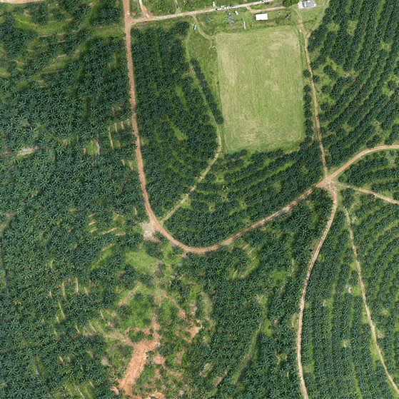
Estate Management
The lengthy duration and high cost of aerial surveys can inhibit the effective management of forest estates. Our affordable and precise Aerial Survey provides high resolution imagery and reliable analytic data, enabling estate managers to quickly visualize assets and plan effectively.
Common outputs:
• Infrastructure mapping
• Slope and trail mapping
• Land boundaries
• Estate planning
LEARN MORE
Due Diligence
Our Aerial Survey can complete due diligence risk assessments for clients looking to acquire and monitor forest estates. Our experienced professionals will customize a package suitable to your needs and requirements.
Common outputs:
• Water distribution map
• Tree counting
• Detailed estate mapping (such as land cover, vacant land, and infrastructure mapping)
• Digital Surface Model (DSM)
• Normalized Difference Vegetation Index (NDVI)
• Soil quality measurement
LEARN MORE
The services that we provide
At Insight Robotics, we provide intelligent forestry risk management services for precise and practical detection of man-made and natural threats.
Wildfire Detection System
AI-assisted early fire detection powered by advanced EO/IR sensors and machine learning with smoke detection algorithms.
LEARN MOREAerial Survey
Intelligent, precise and best value aerial survey and insight solution for plantation management by analyzing large areas of land.
LEARN MORE