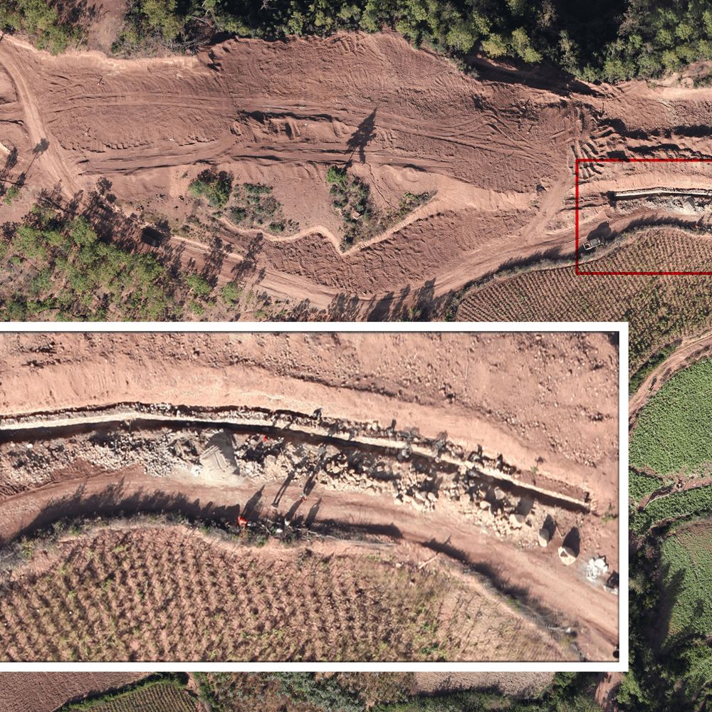
Land Assessment & Audit
This package can be used for land assessment and audit of existing estates or for due diligence risk assessments for proposed acquisitions. Our Aerial Survey delivers key data for auditing and evaluation purposes.
Common outputs:
• Detailed estate mapping (such as land cover, vacant land, and infrastructure mapping)
• Soil quality measurement for locating infertile land
• Inventory counting
• Water distribution map
LEARN MORE
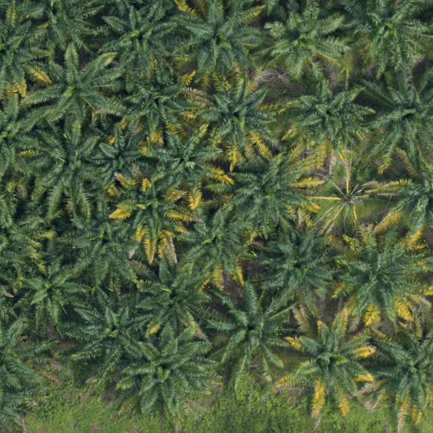
Crop Health (Immature Palms)
Maximize productivity of your estate at key stages of the crop life cycle with our Aerial Survey. High quality aerial imagery and data-driven insights allow you to monitor palm growth and improve yields by identifying and replacing missing palms and monitoring crop health. Typically involves 4 to 6 aerial surveys per year to monitor palms during this critical developmental stage.
Common outputs for Immature Palms:
• Identification of missing palms
• Vegetation cover
• Palm greenness
• Pest outbreak detection
• Digital Surface Model (DSM)
LEARN MORE
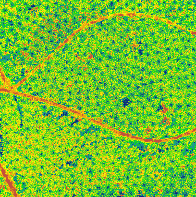
Crop Health (Mature Palms)
Our Aerial Survey improves visibility of your oil palm plantation with crop health monitoring and identification of key threats such as bagworm and water stress. Typically involves 1 to 2 surveys per year to maintain optimum health and maximum yield.
Common outputs for Mature Palms:
• Identification of missing palms
• Leaf Analysis Index (LAI)
• Photosynthesis
• Water stress
• Pests and disease detection
LEARN MORE
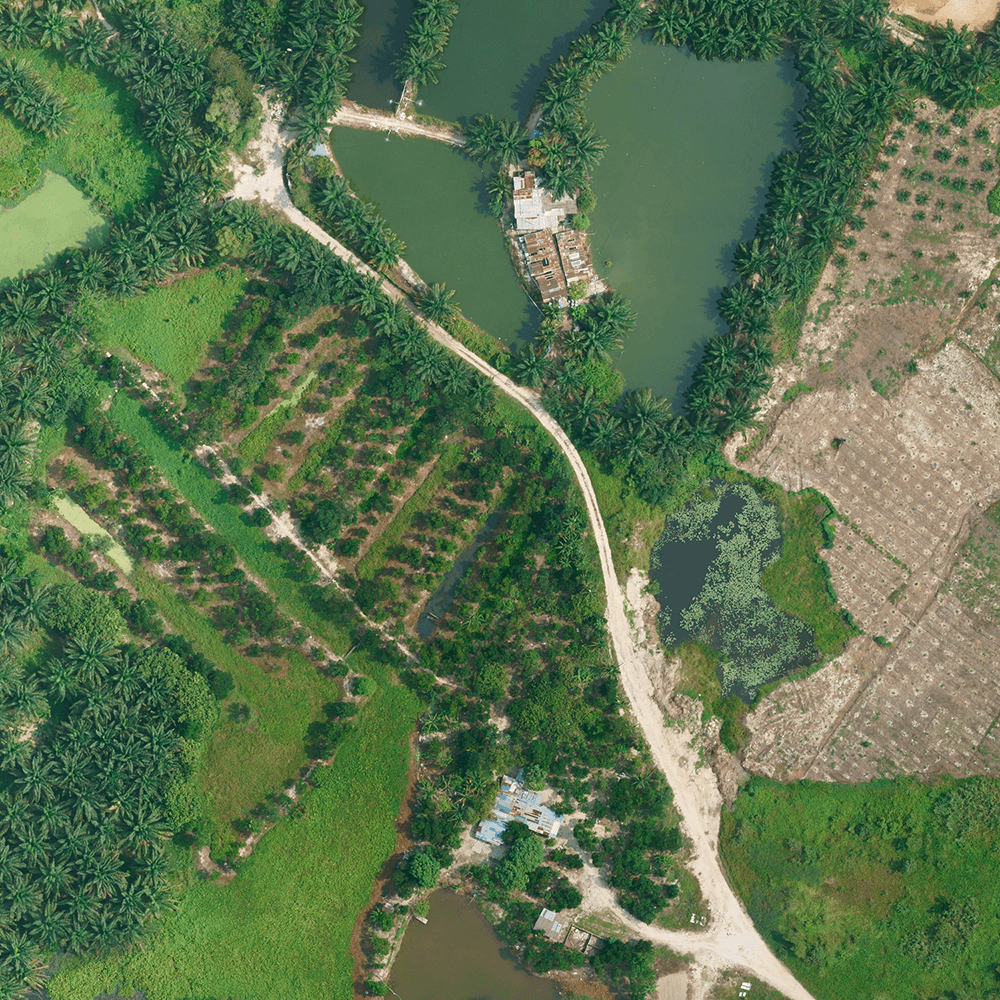
Estate Management
Perform cost-effective and precise aerial assessments of your estate. Our Aerial Survey delivers high quality and reliable analytic data for visualization and planning of both brownfield and greenfield land.
Common outputs:
• Total planted and unplanted areas
• Palm counting
• Detailed infrastructure mapping
• Fertile and infertile land analysis
• Digital Elevation Model (DEM)
LEARN MORE
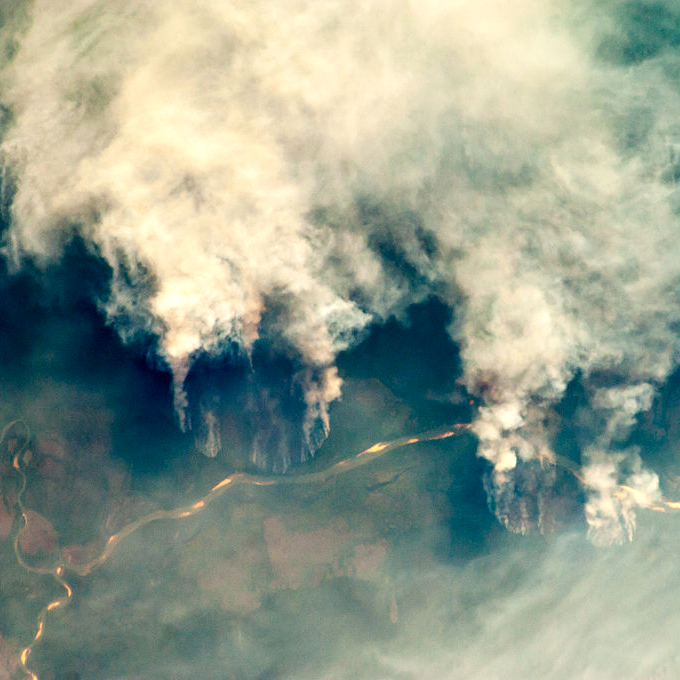
Manage Wildfire
Strategically placed Wildfire Detection units can provide real-time surveillance and protection of your plantation borders. Early and accurate fire detection dramatically reduces suppressions costs and protects assets from forest conversion and land preparation wildfires.
AI-assisted thermal and smoke detection technology minimizes the risk of human error and shifts the focus from costly firefighting to rapid and effective threat mitigation.
LEARN MORE
The services that we provide
At Insight Robotics, we provide intelligent forestry risk management services for precise and practical detection of man-made and natural threats.
Aerial Survey
Intelligent, precise and best value aerial survey and insight solution for plantation management by analyzing large areas of land.
LEARN MOREWildfire Detection System
AI-assisted early fire detection powered by advanced EO/IR sensors and machine learning with smoke detection algorithms.
LEARN MORE