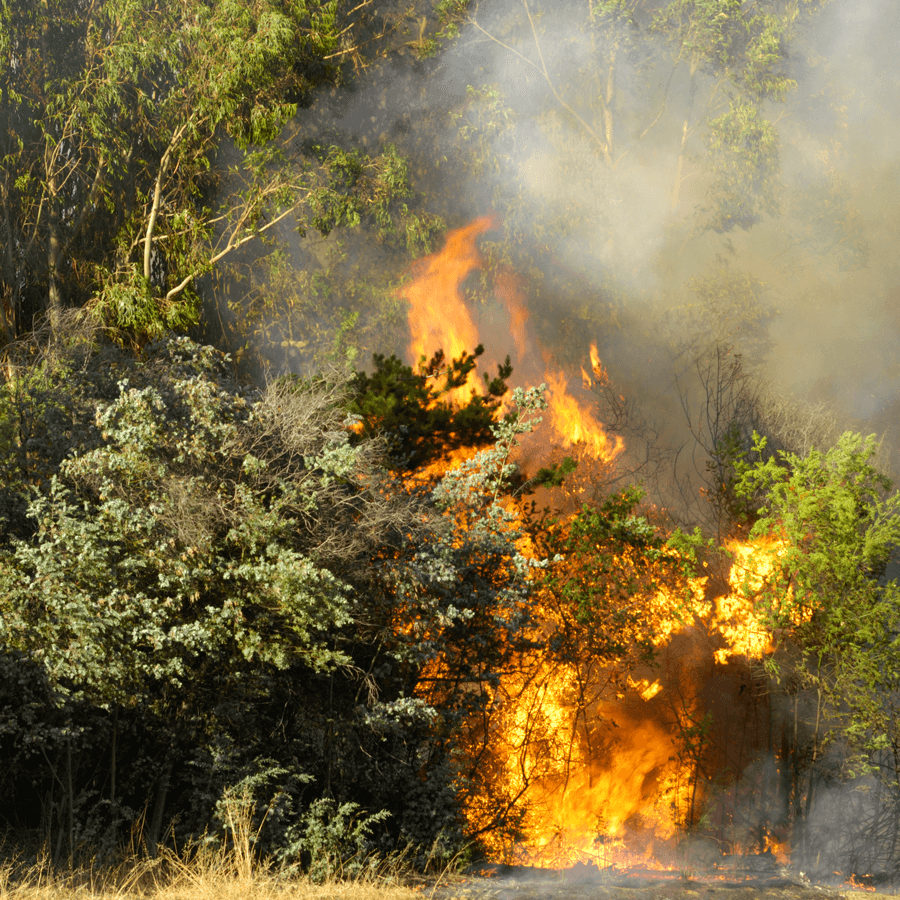
Manage Wildfire
The enormity of forests has always presented a challenge to their effective management, inhibiting the accurate location and suppression of wildfire threats.
Our computer-aided Wildfire Detection System is powered by advanced EO/IR sensors and detection engine which provides early, accurate detection of wildfires in low visibility. AI-assisted thermal and smoke detection technology eliminates the risk of human error, provides real-time monitoring and surveillance of your land, and improves chances of catching wildfires early before they spread. Avoid threats to human safety and guarantee the long-term protection of vital ecosystems and species diversity.
LEARN MORE
Assessment & Audit
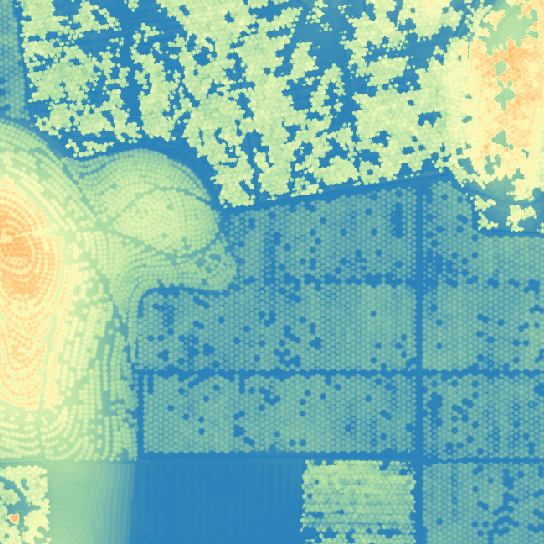
Our extensive library of analytics can facilitate annual standard assessments or audits, environmental impact assessments, restoration and conservation efforts, hazard monitoring, identification of illegal logging or poaching, and protection of biodiversity and cultural heritage sites.
Common outputs:
• Water distribution map
• Volume analysis
• Tree counting and study
• Normalized Difference Vegetation Index (NDVI)
• Nutrition levels
• Pests and disease
LEARN MORE
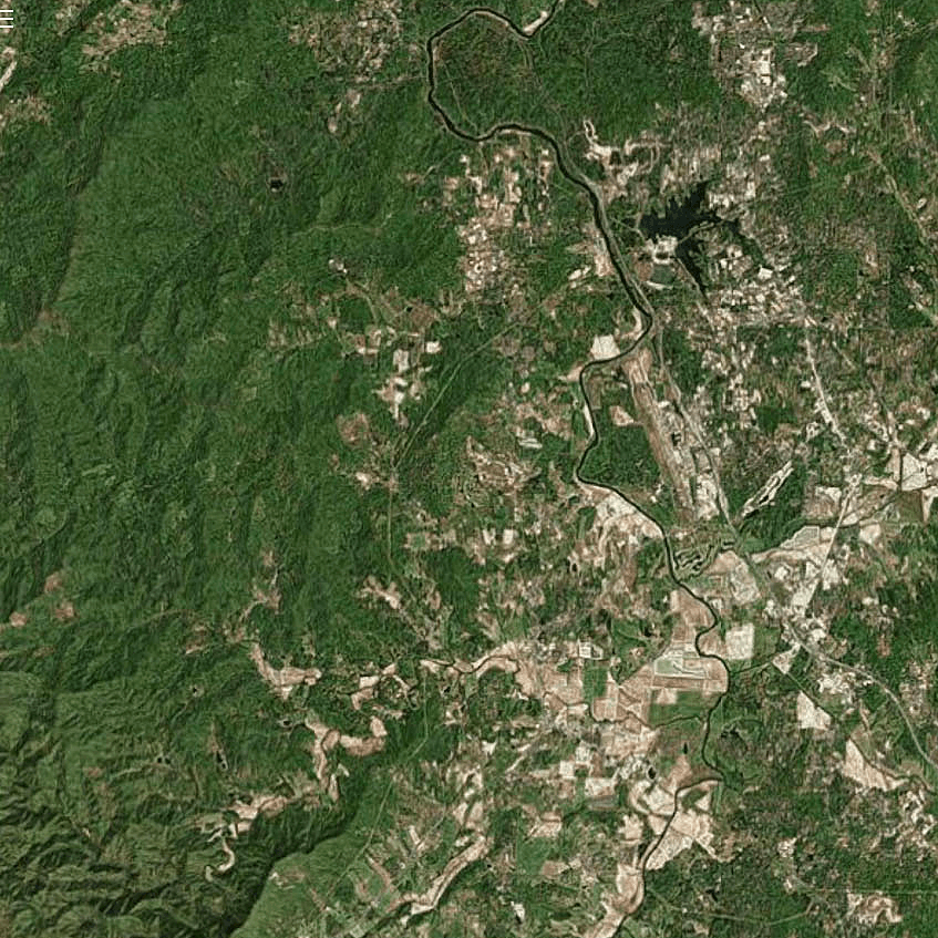
Park Management
The Insight Robotics Aerial Survey enhances visualization of your land, resulting in informed decision making and planning to improve park infrastructure, mitigate hazards, and ensure optimal operation of the park for employees, visitors, and surrounding communities.
Common outputs:
• Infrastructure mapping
• Slope and trail mapping
• Land boundaries
• Water distribution map
LEARN MORE
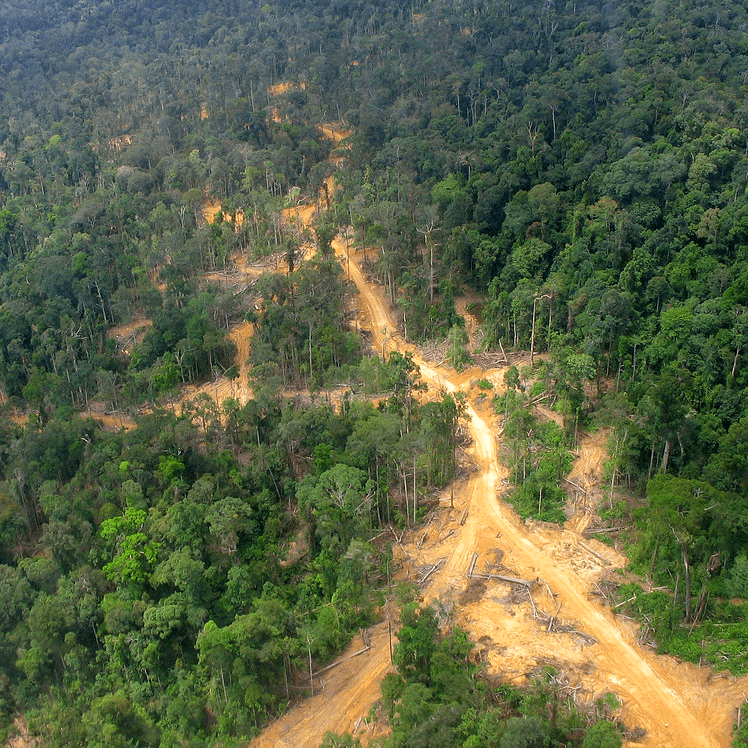
Protected Area Conservation & Monitoring
Manage and mitigate key risks to protected areas with this Aerial Survey package. Ensure crucial wilderness areas are protected against threats such as illegal logging, unauthorized encroachment, pests and disease.
Common outputs:
• Tree counting/volume change
• Boundary mapping
• Disease and pest detection
• Nutrition levels
LEARN MORE
The services that we provide
At Insight Robotics, we provide intelligent forestry risk management services for precise and practical detection of man-made and natural threats.
Wildfire Detection System
AI-assisted early fire detection powered by advanced EO/IR sensors and machine learning with smoke detection algorithms.
LEARN MOREAerial Survey
Intelligent, precise and best value aerial survey and insight solution for plantation management by analyzing large areas of land.
LEARN MORE